

CHINA / MILITARY
PLA completes 3D mapping of China’s western border with centimeter-level accuracy
By Liu XuanzunPublished: Jan 12, 2021 08:11 PM
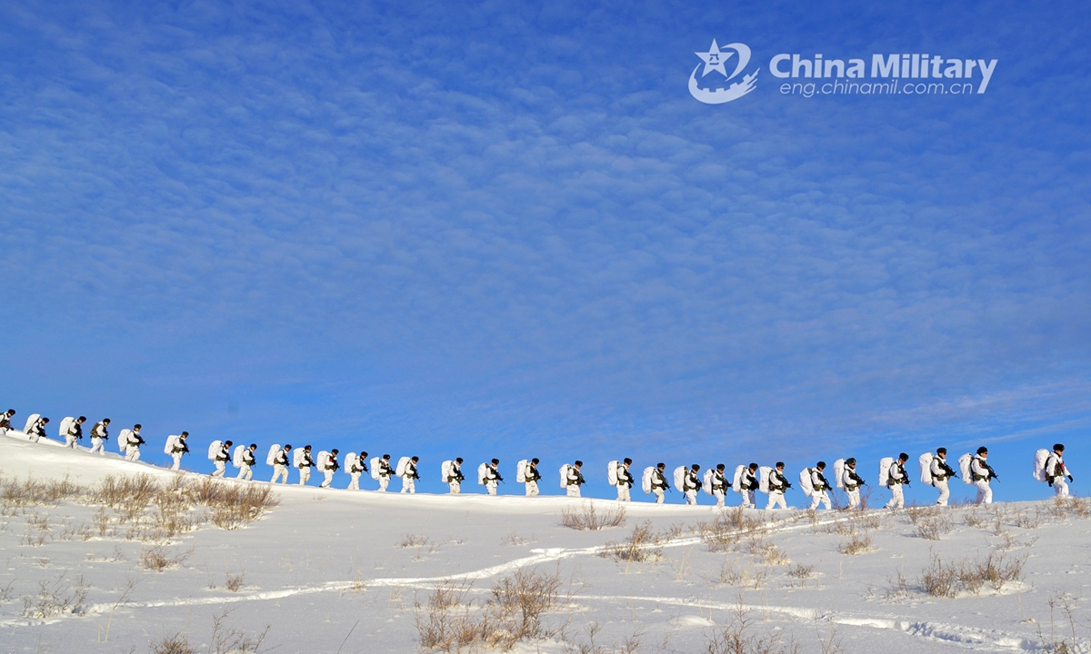
Soldiers assigned to a frontier defense regiment under the PLA Xinjiang Military Command carry out route march in the snow during an intensive training exercise on December 23, 2020. (eng.chinamil.com.cn/Photo by Wang Yue)
The People's Liberation Army (PLA) recently started deploying China's first panoramic, high-precision spatial datum that covers the uncharted western border region of the country, with leading analysts saying that the system will contribute to the infrastructure construction as well as combat capability enhancement of Chinese forces in the region.
Over the past two years, a navigation and mapping unit affiliated with the PLA Western Theater Command traversed over 20,000 kilometers and established the first panoramic, high-precision spatial datum in the western border region based on 3D geographic information from remote sensing images and joint situational precognition, China Central Television (CCTV) reported on Monday.
The troops used aerial drones, panoramic cameras and a vehicle customized for geographical mapping and navigation, as they overcame challenges like the lack of oxygen and altitude sickness in the plateau and snowy mountains, CCTV reported.
Due to harsh climate and complicated terrain, many places in the region used to be uncharted and lacked accurate geographic and environmental data, the report said.
"The panoramic spatial datum is like a multifunctional, highly accurate ruler that can indicate the coordinates of remote sensing images and other geographic data. We can evaluate the data, that can reach centimeter-level accuracy," Wang Yanbin, deputy leader of the navigation and mapping unit, said in the CCTV report.
It will enable the monitoring of the entire western border region at all times through remote sensing satellites, and can provide reliable support for disaster relief, infrastructure construction, spatial planning and economic development, CCTV said.
The system also has military significance, as it will contribute to the tactical and strategic judgment of commanders and soldiers with better situational awareness, and provide geographic data for weapons systems, Chinese military analysts said.
Geographic and environmental information is important on the battlefield, Song Zhongping, a Chinese military expert and TV commentator, told the Global Times on Tuesday.
The new 3D mapping system can avoid the lack of navigational data and provide support to the deployment and maneuvering of troops. It can also offer data to high-precision guided weapons in attack missions, Song said.
China borders 11 countries to the west, and the region has complicated terrain and less developed transport infrastructure, CCTV reported.
In 2020, China and India went through a series of border conflicts, including a bloody brawl in the Galwan Valley in June and standoffs in other areas along the border.
PLA completes 3D mapping of China’s western border with centimeter-level accuracy
By Liu XuanzunPublished: Jan 12, 2021 08:11 PM
Soldiers assigned to a frontier defense regiment under the PLA Xinjiang Military Command carry out route march in the snow during an intensive training exercise on December 23, 2020. (eng.chinamil.com.cn/Photo by Wang Yue)
The People's Liberation Army (PLA) recently started deploying China's first panoramic, high-precision spatial datum that covers the uncharted western border region of the country, with leading analysts saying that the system will contribute to the infrastructure construction as well as combat capability enhancement of Chinese forces in the region.
Over the past two years, a navigation and mapping unit affiliated with the PLA Western Theater Command traversed over 20,000 kilometers and established the first panoramic, high-precision spatial datum in the western border region based on 3D geographic information from remote sensing images and joint situational precognition, China Central Television (CCTV) reported on Monday.
The troops used aerial drones, panoramic cameras and a vehicle customized for geographical mapping and navigation, as they overcame challenges like the lack of oxygen and altitude sickness in the plateau and snowy mountains, CCTV reported.
Due to harsh climate and complicated terrain, many places in the region used to be uncharted and lacked accurate geographic and environmental data, the report said.
"The panoramic spatial datum is like a multifunctional, highly accurate ruler that can indicate the coordinates of remote sensing images and other geographic data. We can evaluate the data, that can reach centimeter-level accuracy," Wang Yanbin, deputy leader of the navigation and mapping unit, said in the CCTV report.
It will enable the monitoring of the entire western border region at all times through remote sensing satellites, and can provide reliable support for disaster relief, infrastructure construction, spatial planning and economic development, CCTV said.
The system also has military significance, as it will contribute to the tactical and strategic judgment of commanders and soldiers with better situational awareness, and provide geographic data for weapons systems, Chinese military analysts said.
Geographic and environmental information is important on the battlefield, Song Zhongping, a Chinese military expert and TV commentator, told the Global Times on Tuesday.
The new 3D mapping system can avoid the lack of navigational data and provide support to the deployment and maneuvering of troops. It can also offer data to high-precision guided weapons in attack missions, Song said.
China borders 11 countries to the west, and the region has complicated terrain and less developed transport infrastructure, CCTV reported.
In 2020, China and India went through a series of border conflicts, including a bloody brawl in the Galwan Valley in June and standoffs in other areas along the border.
