


Two companies based in Nova Scotia, Canada:
 cartenav.com

 metocean.com
============================

Coastguards worldwide demand maximal situational awareness for today’s search and rescue (SAR) operations when every second counts in the open ocean. CarteNav is pleased to announce alongside MetOcean Telematics, integration of the Iridium Self Locating Datum Marker Buoy (iSLDMB) with both AIMS-ISR for real-time mission management and AIMS-C4 for SAR command & control in a Common Operating Picture.
CarteNav integrates MetOcean Telematics’ Iridium Self Locating Datum Marker Buoy (iSLDMB) with both AIMS-ISR for real-time mission management and AIMS-C4 for search and rescue (SAR) command & control in a Common Operating Picture.
The MetOcean Telematics iSLDMB is innovative, rugged, and compact to meet the stringent performance requirements of coastguards for Search and Rescue (SAR) operations in the open ocean. The buoy is deployed to communicate subsurface ocean currents and temperature in real-time – providing critical data to decision-makers tasked with rescuing a person, vessel, or aircraft lost at sea.
The MetOcean drift marker buoys are deployed by the aircrew and can now be tracked by the AIMS-ISR mission system. The drift marker buoys provide valuable data via the Iridium network to the onboard AIMS-ISR mission system – providing insight into the ocean environment. Tracking these buoys provide information to onboard operators to conduct the most effective search and rescue plan. The buoy data is displayed directly alongside other sensor data such as radar, AIS, and ViDAR – maximizing operator situational awareness and search effectiveness.
For rescue and search coordinators on the ground, AIMS-C4 provides the real-time and historical data from all deployed ISLDMB data in a Common Operating Picture. The use of real-time and historical data allows the rescue coordination centre to create SAR models and plans to achieve mission success.
“I am thrilled to announce the integration of MetOcean Telematics’ iSLDMB product with both AIMS-ISR and AIMS-C4 – together, they enable this crucial data to serve coastguard operators both in real-time and historically within a complete mission data lifecycle,” said Carl Daniels, COO of CarteNav. “The team is particularly pleased that together as geographic neighbours, we are bringing this new and dependable SAR solution to the global market, showcasing Atlantic Canada’s world-class development for ocean technologies.”
“We are delighted to witness the successful integration of MetOcean’s iSLDMB with CarteNav’s mission critical platforms; AIMS-ISR and AIMS-C4. This collaboration will provide SAR operators with the full gamut of real-time data access during active missions, when data is critical, and lives are on-the-line. It was a true pleasure working with the team at CarteNav and we look forward to future opportunities where we can collaborate.” – Tony Chedrawy, MetOcean CEO
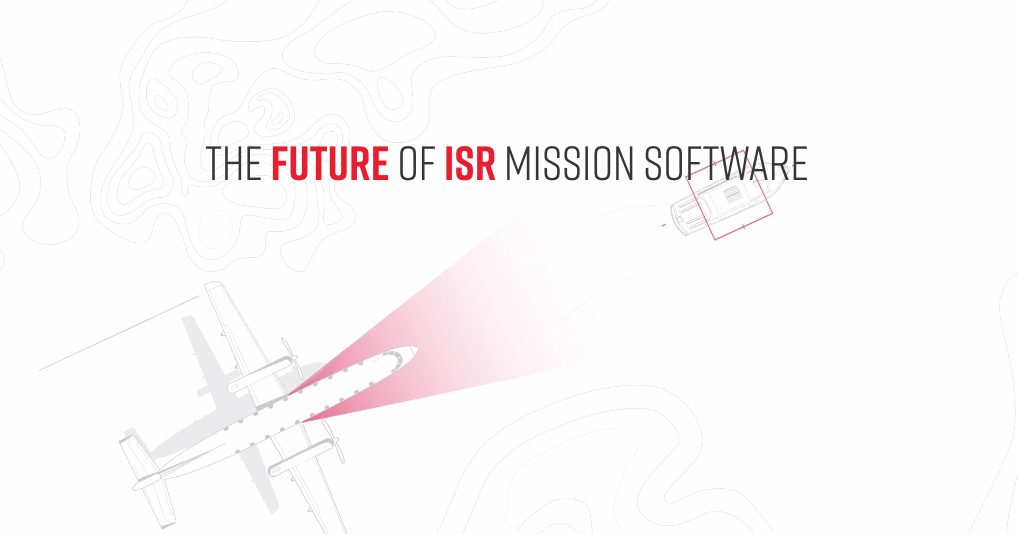
CarteNav — The Future of ISR Mission Software
With over 600 customer installations in 40+ countries, CarteNav’s C4ISR Mission Software is highly adaptable to today’s diverse operational requirements.
cartenav.com
MetOcean Telematics | Track, Monitor, and Explore Without Limits.
MetOcean Telematics is a global telemetry leader offering innovative voice, data and web-based solutions.
metocean.com
============================
Coastguards worldwide demand maximal situational awareness for today’s search and rescue (SAR) operations when every second counts in the open ocean. CarteNav is pleased to announce alongside MetOcean Telematics, integration of the Iridium Self Locating Datum Marker Buoy (iSLDMB) with both AIMS-ISR for real-time mission management and AIMS-C4 for SAR command & control in a Common Operating Picture.
CarteNav integrates MetOcean Telematics’ Iridium Self Locating Datum Marker Buoy (iSLDMB) with both AIMS-ISR for real-time mission management and AIMS-C4 for search and rescue (SAR) command & control in a Common Operating Picture.
The MetOcean Telematics iSLDMB is innovative, rugged, and compact to meet the stringent performance requirements of coastguards for Search and Rescue (SAR) operations in the open ocean. The buoy is deployed to communicate subsurface ocean currents and temperature in real-time – providing critical data to decision-makers tasked with rescuing a person, vessel, or aircraft lost at sea.
The MetOcean drift marker buoys are deployed by the aircrew and can now be tracked by the AIMS-ISR mission system. The drift marker buoys provide valuable data via the Iridium network to the onboard AIMS-ISR mission system – providing insight into the ocean environment. Tracking these buoys provide information to onboard operators to conduct the most effective search and rescue plan. The buoy data is displayed directly alongside other sensor data such as radar, AIS, and ViDAR – maximizing operator situational awareness and search effectiveness.
For rescue and search coordinators on the ground, AIMS-C4 provides the real-time and historical data from all deployed ISLDMB data in a Common Operating Picture. The use of real-time and historical data allows the rescue coordination centre to create SAR models and plans to achieve mission success.
“I am thrilled to announce the integration of MetOcean Telematics’ iSLDMB product with both AIMS-ISR and AIMS-C4 – together, they enable this crucial data to serve coastguard operators both in real-time and historically within a complete mission data lifecycle,” said Carl Daniels, COO of CarteNav. “The team is particularly pleased that together as geographic neighbours, we are bringing this new and dependable SAR solution to the global market, showcasing Atlantic Canada’s world-class development for ocean technologies.”
“We are delighted to witness the successful integration of MetOcean’s iSLDMB with CarteNav’s mission critical platforms; AIMS-ISR and AIMS-C4. This collaboration will provide SAR operators with the full gamut of real-time data access during active missions, when data is critical, and lives are on-the-line. It was a true pleasure working with the team at CarteNav and we look forward to future opportunities where we can collaborate.” – Tony Chedrawy, MetOcean CEO